
Mobility is high on the agenda for most cities, with many claiming to be the first ‘smart’ city or launching major mobility projects to reduce environmental impact. Yet, the notion of a ‘sustainable’ city is a complex web of challenges. There often remains a disconnect between the different initiatives which operate in isolation: a push to introduce micromobility here or to increase cycle lanes there – all valuable projects but rarely considered holistically.
What will drive sustainability are urban planners and local governments designing cities around people (rather than cars) – and doing so in an integrated, data-based manner. This requires an in-depth understanding of how, why and when people move around cities. In this article, we explore why Mobility-as-a-Service (MaaS) data has an important role to play, helping transport stakeholders and city planners to better understand mobility behaviours and determine how best to shape public policy, utilise space and where to direct funding.
Why MaaS data is crucial for cities
MaaS data can offer local governments a treasure trove of information on how their citizens travel throughout the city. This information can be used as a baseline to inform and support transport-related decisions. Simply asking people how they move and what they want from their cities and transportation isn’t enough. They may respond with what they believe to be true, may forget certain behaviours (or not want to divulge them), or may say what they think is socially acceptable.
This can lead to a gap between values/beliefs/intentions and actions. A recent survey of ten European countries highlighted that while citizens were very concerned about the environment, they rated sustainability measures that would limit their lifestyle of lower importance (Guardian). While engaging with citizens and hearing their opinion is valuable, collecting data on day-to-day behaviour is essential to understanding what’s happening in real life.
What data can MaaS offer?
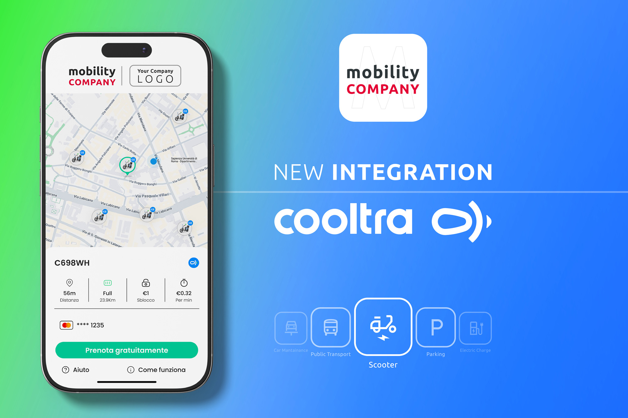
MaaS links up datasets from different providers, generating anonymised real-time passenger flow information from public transportation systems, bike-share locations, car-share hubs, charging stations, ride-hailing geospatial data and more. GPS breadcrumb trails using latitude and longitude data can record trip information such as the path an individual or vehicle has travelled, transport mode, as well as the location and journey start and end times (NACTO).
When connecting this data, from vehicle movements to weather patterns, we can start to uncover trends based on, for example, timeframe, distance, mode, CO2 and cost to help city planners make more informed decisions. Further examples include sensors on public transport providing insights on congestion, or crowdsourcing schemes collecting data directly from travellers.
Bringing all of this data together not only benefits the end-user with access to a more connected and comprehensive transport system, but also local governments. This becomes more apparent if MaaS data is integrated into complex simulation models to help analysts make realistic projections about urban ecosystems. Insights into behaviour patterns and mobility trends could help them better understand transport habits. Faster innovation and more efficient service delivery are further benefits of gathering and analysing MaaS data.
Read the full article by SkedGo here.